Purpose of the flight and payload description
Strateole-2 is a French-US project to study climate processes in the Tropical Tropopause Layer (TTL) and in the lower stratosphere. The project is based in the use of CNES superpressure balloons, capable of drifting for several months between 18 and 20 km altitude. The effort will release a total of nearly 50 long-duration balloons in three separate campaigns between 2019 and 2024. During each Strateole-2 campaign two series of balloons were flown at different altitudes: one above the tropopause -the boundary between the troposphere and the stratosphere- nomenclated as STRAT at about 20,000 metres and the other at around 18,000 metres, at the top of the tropopause nomenclated as TTL. The first series of flights focuses primarily on remote measurements, and the second on in-situ measurements.
Strateole 2 balloons are 11 or 13 metres in diameter and can carry payload gondolas weighing 22 kilograms. Their closed envelope is filled with helium which expands during its ascent, giving it a spheroid shape when it reaches its ""ceiling"" altitude. These superpressure balloons can fly for very long time in the stratosphere, the flight duration being ultimately determined by helium leak or diffusion through the balloon envelope. The target flight duration for Strateole-2 was 3 months.
Each balloon carried a parachute, separator, venting valve, ballast dispenser and two gondolas: EUROS and ZEPHYR
EUROS is a service gondola that hosts and control all devices and systems that ensures the flights are conducted in complete safety for aviation and populated areas overflown and enables the operators to check that the balloon and its systems are functioning correctly. The gondola has its own solar power systems, global communications links (Iridium and Inmarsat), GPS receiver, processing units and a suite of sensors and active control systems including a high-precision air pressure and temperature sensing system. All of these systems have a dual operational and scientific vocation.
The scientific instruments are carried by the ZEPHYR gondola, developed by LMD, LATMOS and DT-INSU. The role of ZEPHYR is to ensure that all scientific instruments are able to perform nominally during the 3-month balloon flights in the stratosphere. Hence, Zephyr provides basicaly a thermal insulation between the instrument electronics and the atmosphere using a 8-cm thick styrofoam box. Also provides renewable power management using solar panels to recharge batteries during day, while the batteries provide sufficient power to handle nighttime activities; positioning and timing thanks to an onboard GPS receiver; communication to the ground control center using an Iridium platform to both download scientific data collected onboard and upload tele-commands from the ground.
Due to payload mass constraints, not all the scientific instruments can be used on all flights. Four combinations of instruments have therefore been devised to achieve the project's science goals.
This flight was performed only to measure atmospheric dynamics. For that purpose only was carried by the balloon the Euros gondola containing a TSEN unit developped at LMD that makes in-situ measurements of atmospheric pressure and temperature every 30 seconds during the whole flight and a GPS. The GPS measurements during flight serves to deduce winds, and combined with air pressure and temperature readings helps to characterize atmospheric waves similar to swell or tidal movements at sea, and even to big breakers in storm conditions.
Details of the balloon flight

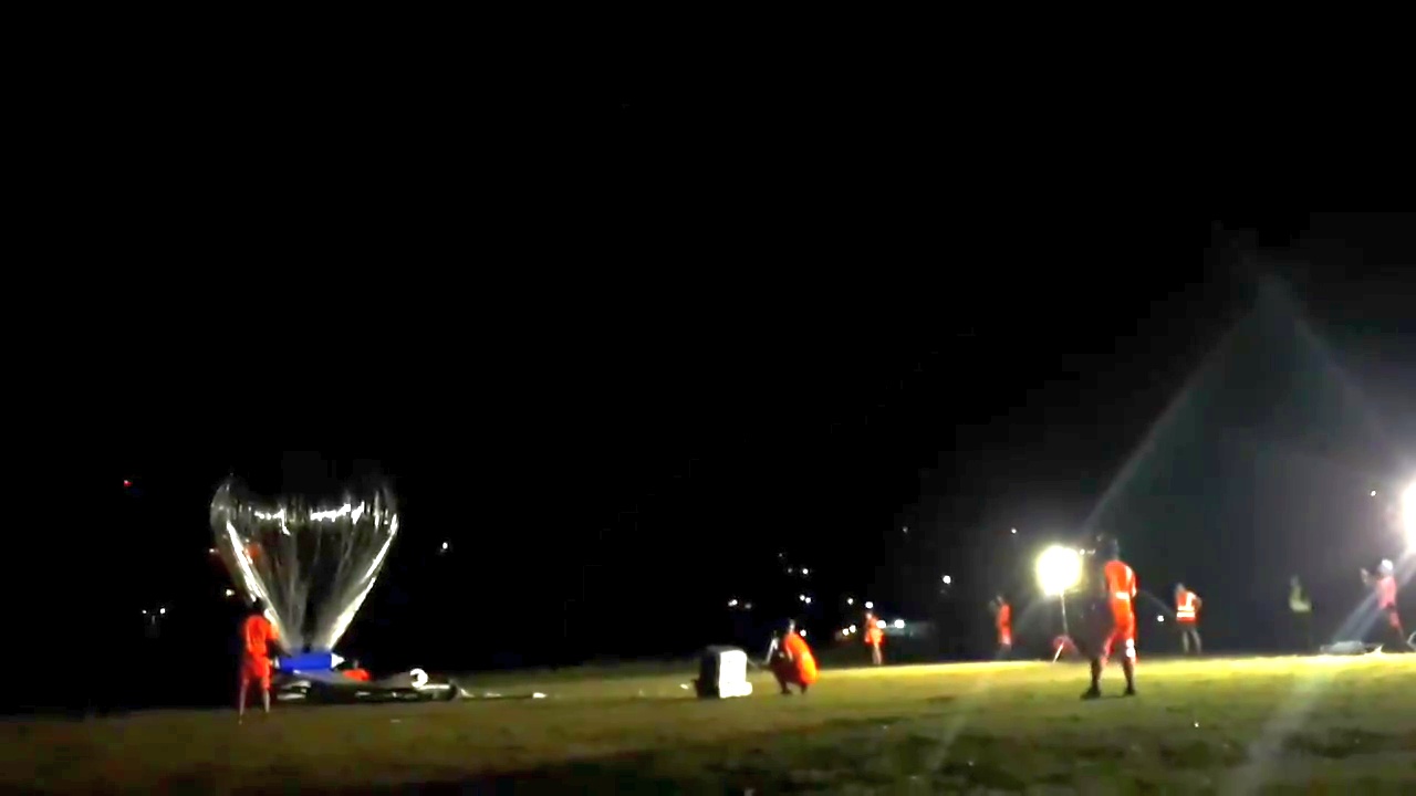
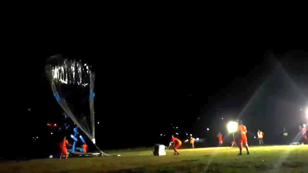
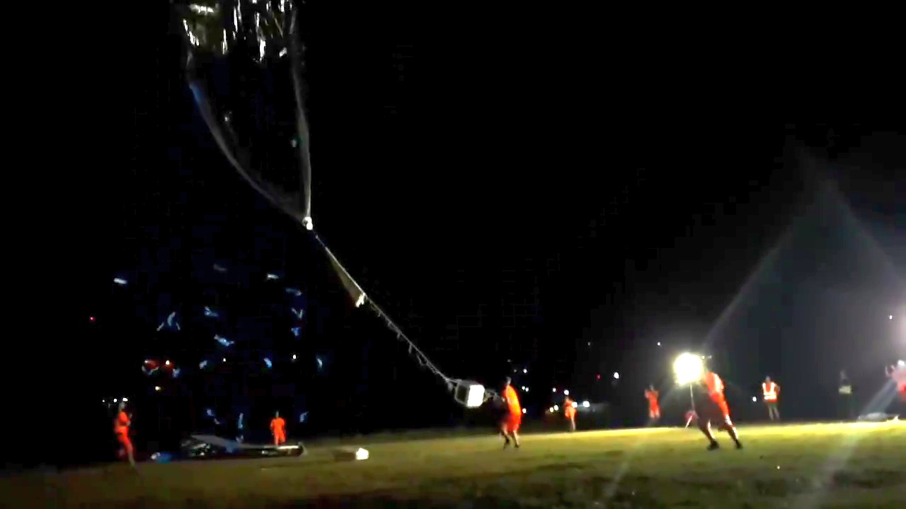
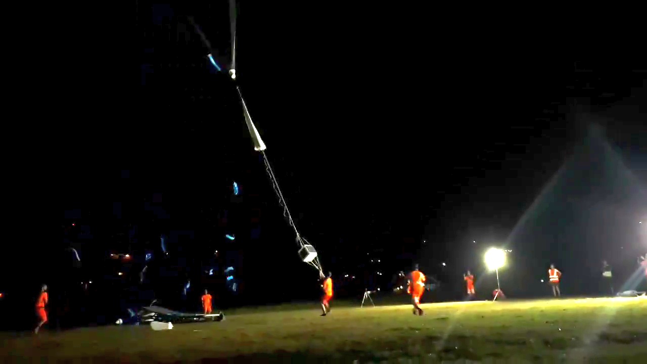
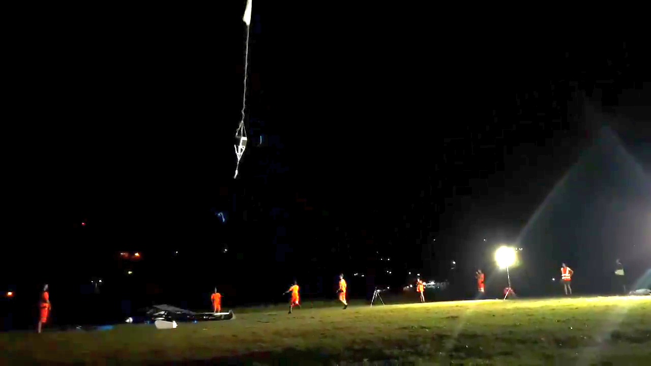
Balloon launched on: 12/7/2019 at 20:21 utc
Launch site: Seychelles International Airport, Mahe
Balloon launched by: Centre National d'Etudes Spatiales (CNES)
Balloon manufacturer/size/composition: Super Pressure Balloon 13 m diameter
Flight identification number: 08-STR2
End of flight (L for landing time, W for last contact, otherwise termination time): 2/22/2020 at 23:20 utc
Balloon flight duration (F: time at float only, otherwise total flight time in d:days / h:hours or m:minutes - ): 77 d 5 h 59 m
Landing site: Sunk in the Pacific Ocean, 20 km E of Marakei Atoll, North Gilbert Islands
Campaign: Strateole 2.0
External references
- Strateole 2 website
- Campaign website at IPSL
- Strateole 2 website at CNES
- Strateole-2 balloon flight campaign launched from Mahé in The Seychelles Press release from CNES
15372If you consider this website interesting or useful, you can help me to keep it up and running with a small donation to cover the operational costs. Just the equivalent of the price of a cup of coffee helps a lot.

