Purpose of the flight and payload description
SAOZ is a UV-visible spectrometer able to provide vertical profiles of O3, NO2, OClO, BrO and H2O by solar occultation during ascent of the balloon (or descent) and from float at 30 km during sunset (or sunrise). The balloon version of the SAOZ instrument is very similar to the one used for ground-based measurements of total ozone and NO2.
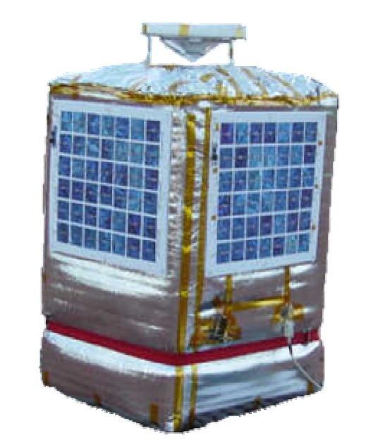
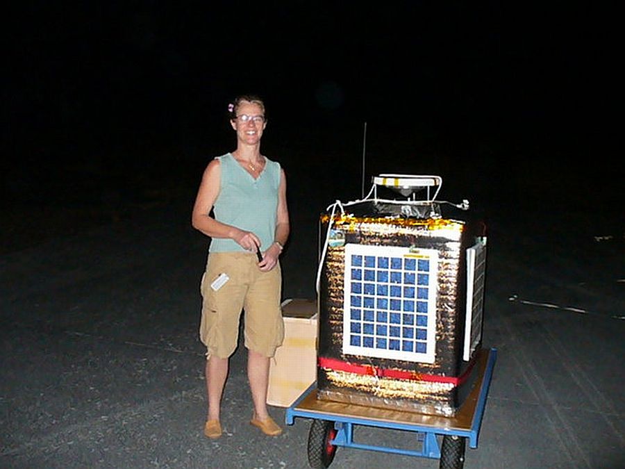
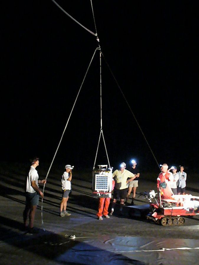
At left can be seen a picture of the SAOZ-MIR gondola. This particular version is adapted to fly in long duration balloons and counts with solar panels attached on the four sides and reinforced insulation.
It uses a flat field holographic grating and a 1024 diode-array detector providing spectral measurements of 1.1 nm resolution in the 300-650 nm spectral range. There is no sun tracker. Sunlight passes into the 50 µm entrance slit after reflection on a conical aluminium mirror defining a 360º azimuth field of view and -10º, +10º elevation, followed by a pile of three diffusers to homogenise the light beam. Measurements are performed during twilight periods only from 89º to 95º SZA with exposure duration, controlled by a CPU, varying from 0.5 s to 52 s. Because of limited capacity of the ARGOS satellite collection system used to transfer the data, the measurements are not repeated continuously but at constant tangent height steps of 0.7 km. The spectral data are both analysed onboard and stored in memory in case of recovery. Only the results of spectral retrieval (column density along the line of sight and fitting error of O3, NO2, O4, O2, tropospheric H2O and solar flux at three wavelengths) are transmitted. Ancillary data also transmitted include 3-D location by GPS, pressure and temperature from Vaisala radiosonde sensors, spectra information (exposure, wavelength shift) and housekeeping (internal temperatures, voltage). The payload is powered by lithium batteries, which provide autonomous operation for about one month. The total instrument weight is 28 kg.
THE MONTGOLFIER INFRARED BALLOON
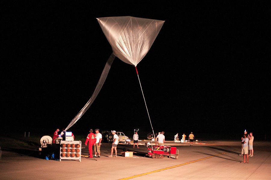
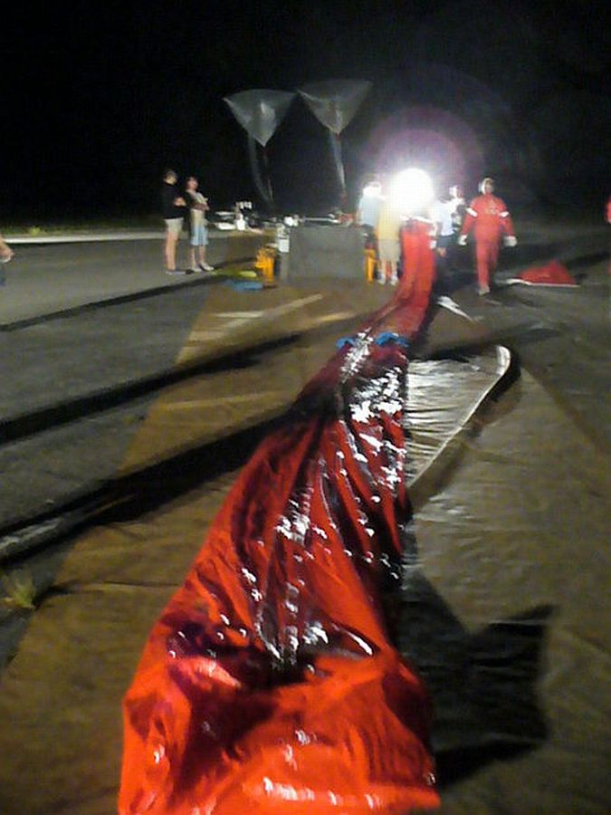
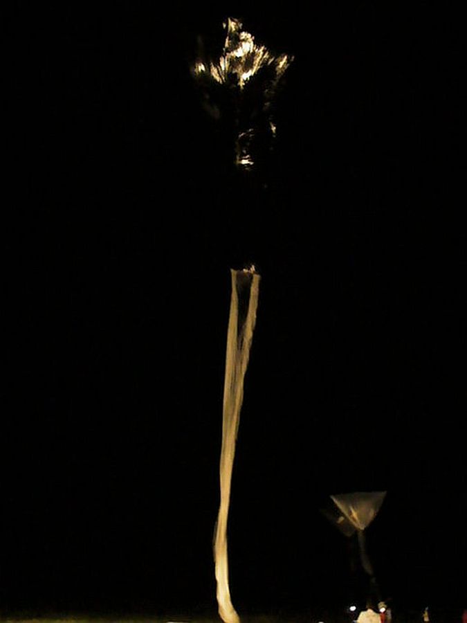
The balloon used as platform for this mission was the so called Infrared Montgolfier (MIR) developed by the Service dAéronomie of the CNRS and CNES in 1977 in an attempt to meet the needs of long-duration flights. The MIR was a hot air balloon of natural shape "open at the bottom" made of 2 different materials: a top part of aluminized Mylar 12 µm thick making a cavity for absorbing ascendants infrared and block any re-emission toward the sky and the bottom part made of linear polyethylene 15µm thick, an infrared transparent material and tough at cold (-80°C). It only used helium to gain altitude at takeoff. Their reflective cover provided lift heating the air inside the envelope by the sun during the day or by the infrared radiation coming from the earth during the night. During the day, the MIR flew at an altitude of about 32 km to 38 km while at night it floats between 20 and 24 km depending on the infrared flux radiating from the overflown area and the temperature of the air parcel. It was able to carry a scientific payload of about 50 kg.
The system was completed with a service payload controlling the flight (balloon technical parameters, safety systems, cut down below 16 km, GPS, pressure, temperature, and global IR radiometer) and the SAOZ gondola 50 m below was independent of the service system.
Details of the balloon flight
Balloon launched on: 2/11/2008 at 21:31 utc
Launch site: Seychelles International Airport, Mahe
Balloon launched by: Centre National d'Etudes Spatiales (CNES)
Balloon manufacturer/size/composition: Montgolfier Infrared 45.000 m3
Balloon serial number: MIR 45 Nº 39
Flight identification number: SCM N023 915, vol BL N° 1
End of flight (L for landing time, W for last contact, otherwise termination time): 2/20/2008 at 16:04 utc
Balloon flight duration (F: time at float only, otherwise total flight time in d:days / h:hours or m:minutes - ): 8 d
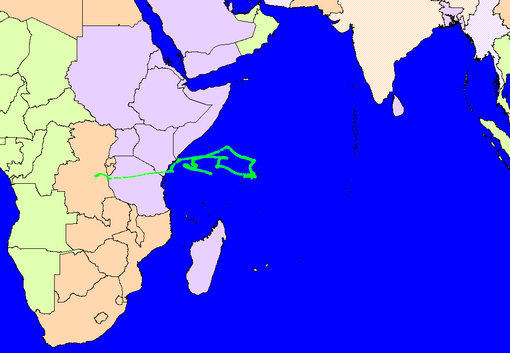
Landing site: Over Congo, Africa
Campaign: SCOUT-O3
Payload weight: 25,5 kg
Overall weight: 59 kg
The balloon was launched from the Seychelles International Airport in Mahe on February 11, 2008 at 21:31 utc. After a nominal ascent of 1 hour and 52 minutes it reached float altitude of 38 km at 23:23 utc that same day. Initially, the MIR balloon circled over the Indian Ocean for 4 days before taking a Westward trajectory. At some point of the flight the CNRS data telemetry signal was lost relying only on data stored on-board. On the ninth day of flight it was decided to terminate the mission for safety reasons before entering a densely populated area. Landing occured over the Democratic Republic of Congo after traveling 7.900 km.
External references
- SAOZ balloon program Service d'Aéronomie, Centre National de la Recherche Scientifique
Images of the mission
If you consider this website interesting or useful, you can help me to keep it up and running with a small donation to cover the operational costs. Just the equivalent of the price of a cup of coffee helps a lot.
