Purpose of the flight and payload description
The purpose of the high altitude solar cell calibration program is to produce air mass zero (AM0) standard solar cell that can be used for accurately setting solar simulator intensities.
The concept is to fly the cells on a balloon, to measure their output at altitudes at or above 36 km (120 000 ft), to recover the cells and to use them as reference standards. The calibrated standard solar cell is placed in the solar simulator beam, and the beam intensity is adjusted until the standard solar cell reads the same as it read on the balloon.
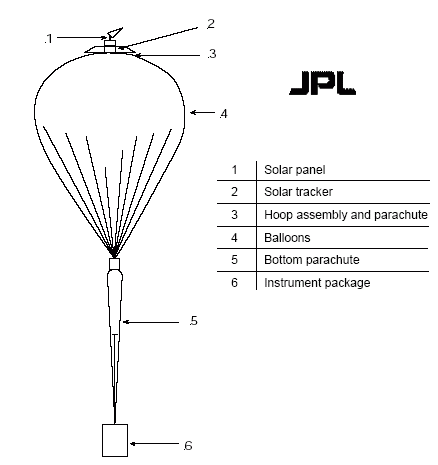
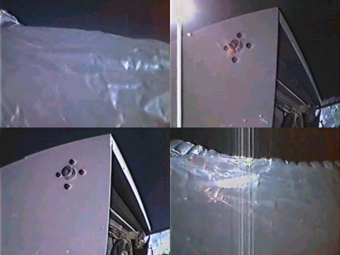
The cells are exposed to direct extraterrestrial sunlight while they are carried on the high altitude balloon. A solar tracker is used to constantly align the solar cells normal to the Sun. The tracker assembly is mounted on the apex of the balloon in order to avoid reflections and/or shadowing from the balloon or from any part of the structure hanging below it.
The main components of the balloon flight system are shown in the drawing at left.
During the flight, the data is telemetered to the ground station. The solar cell calibration data is sent to a computer dedicated to the real-time display and storage of the solar cell data. Data is accumulated for at least 30 min within 1 hr of local solar noon. At the end of the flight, the solar tracker assembly is separated from the balloon system and allowed to descend by its own parachute.
Details of the balloon flight
Balloon launched on: 9/13/2005 at 14:25
Launch site: Scientific Flight Balloon Facility, Fort Sumner, (NM), US
Balloon launched by: National Scientific Balloon Facility (NSBF)
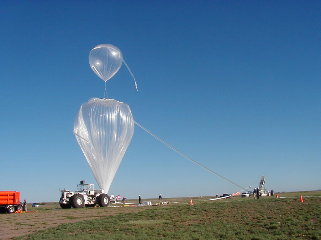
Balloon manufacturer/size/composition: Zero Pressure Balloon 3.460.000 cuft (Tow: 0.0048 cuft) - 0.8 Mil
Balloon serial number: W 3.46-0-28 (Tow: R 0.0048-0-22)
Flight identification number: 548N
End of flight (L for landing time, W for last contact, otherwise termination time): 9/13/2005 at 19:46
Balloon flight duration (F: time at float only, otherwise total flight time in d:days / h:hours or m:minutes - ): 6 h 8 m
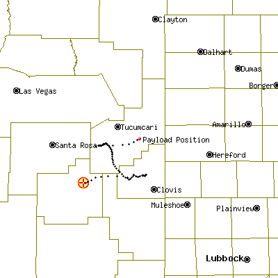
Landing site: 13 nm SSE of Tucumcari, NM, US
Payload weight: 65 lbs
Gondola weight: 655 lbs
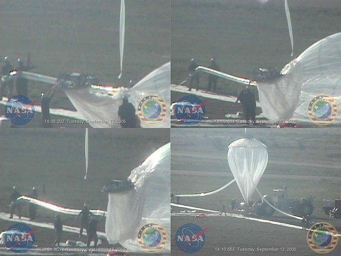
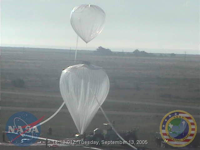
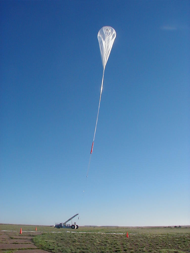
The launch (by dynamic method using launch vehicle) was acomplished at 14:25 utc.
After a nominal ascent phase a float altitude of 120.700 ft was attained and the flight continued without trouble (click the map at left to see the flight path) until 19:46 utc when the cutdown command was transmited and the low payload (NSBF package) was set free, then the top balloon payload (JPL package) was separated from the balloon and last the balloon was ripped off.
The top load payload landed safely 13 nm South Southeast of Tucumcari, NM (34-59.13 N / 103-35.1 W) and the NSBF package touched ground 18 nm Southeast of the same city (35-01.48 N / 103-24.2 W). Both payloads landed at 20:33 utc.
The recovery was completed the next day.
In this flight the Air Mass Zero (AM0) instrument calibrated 46 photovoltaic cells.
External references
Images of the mission
If you consider this website interesting or useful, you can help me to keep it up and running with a small donation to cover the operational costs. Just the equivalent of the price of a cup of coffee helps a lot.
